After Singapore

I would walk 500 miles and I would walk 500 more

Category: nature

  • Jatiluhur Valley & Resort

    Jatiluhur Valley & Resort

    One sign of getting old is to prefer staying at home rather than going out. This fact seemed to apply to me, in which this Christmas I found more happiness at home. However, I was obliged to take my family out (because it was school holiday!), and one night stay out of town sounded nice too. Long story short, we decided to go to Jatiluhur Valley & Resort (JVR), a hotel located next to the Jatiluhur Reservoir. So here we go.

    We drove to Purwakarta about 8.30am in the morning. It was a short journey from Bandung thanks to the toll road. Exited at KM 64, we drove to the Purwakarta town first and had brunch at Hutan Jati Cafe & Gelato. It had a very interesting concept: a small forest inside the city. Purwakarta is rather hot and humid, so even under the greeneries it was still hot. Fortunately they also provided indoor airconditioned area. It also became a perfect ambience when it started raining outside.
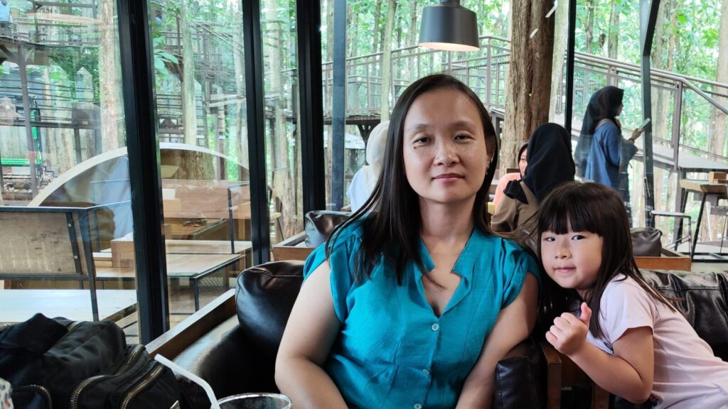
    Picture of Y and P posing for photo, inside the airconditioned area of the cafe.

    We waited for the rain to eae then drove to JVR. I tried to take a shortcut as suggested by Google Maps, and had to drove through a very narrow road.

    The road that led to JVR ascended and descended, and surrounded by greeneries, so it feels out of town. We arrived around 12 noon, and it was not the time yet for check in. The kids spent about an hour playing in the indoor playground, making friends with another guest who were checking out. After they got bored, we drove to Istora. It’s part of the JVR but closer to the reservoir and had better view.

    It was hot outside so a few minutes before two we drove back to JVR main building for check in. After checked in we realized that the lobby was on 3rd floor, and to get to our room we had to take the elevator down to the 2nd floor. We rented two rooms, with connecting door. We complained that one of the room smelled cigarette (despite warning of Rp1.000.000 fine for smoking), and the housekeeping helped us by spraying some air freshener. Y wanted to spend alone time in the room but the kids were bored, so I took them to play in the outdoor playground area.

    Around 4.30pm, we drove out to find a restaurant for early dinner. I craved for meal at traditional restaurant and we chose RM (Rumah Makan / Restaurant) Teh Titin, just a stone throw away from another restaurant RM Teh Pipin. The nostalgia of having meal in a traditional restaurant served well, but the experience there were not so nice. Just after the grilled fish were served, several flies came around and bugged us. The mango juice were a bit rotten, and the asam manis (sweet and sour) squid was too spicy.

    We headed back to hotel to rest. The hotel held a nobar (nonton bareng / watch movie together) event at 7pm, but we were too tired and watched the classic Shaolin Soccer movie in the room instead. I slept early that night, to wake up early at 4.15 AM in the morning and prepared for morning run.
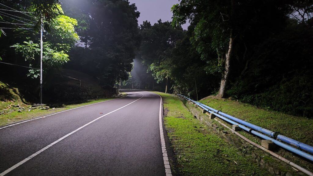
    Picture of a road at dusk.

    I ran to JVR Istora area, but my main purpose was to catch the sunrise. The sunrise sun was not very visible because the west side of the Istora was largely covered by trees. But still, the view was beautiful there.
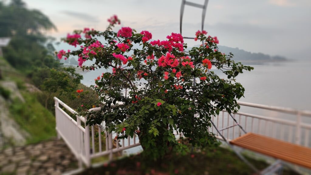
    Picture of pink flowers in front of the reservoir.
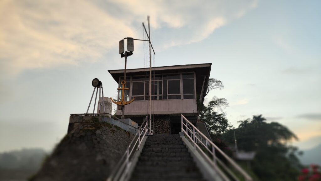
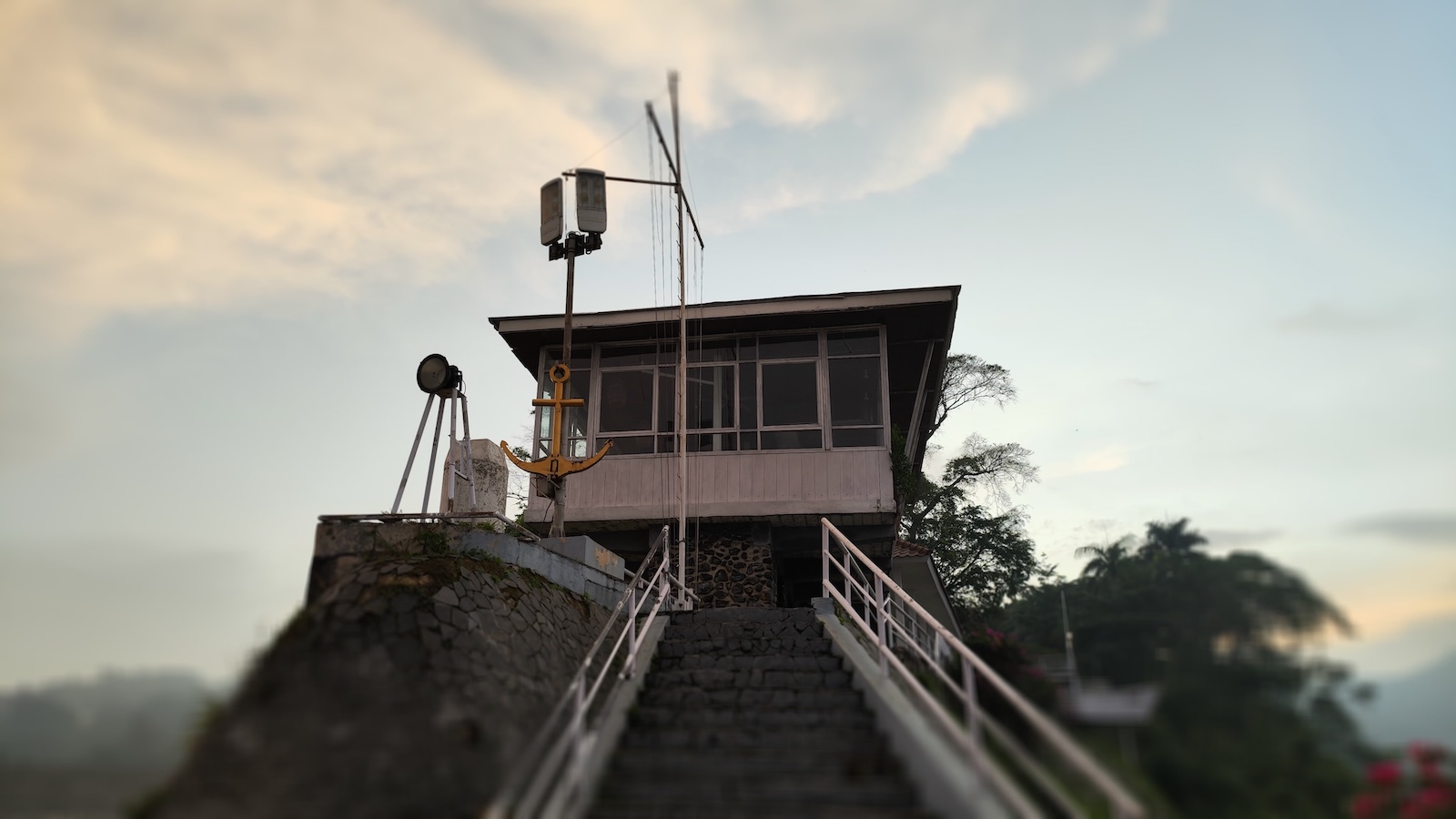
    Picture of a white building that resembles a lighthouse, with yellow anchor as decoration.
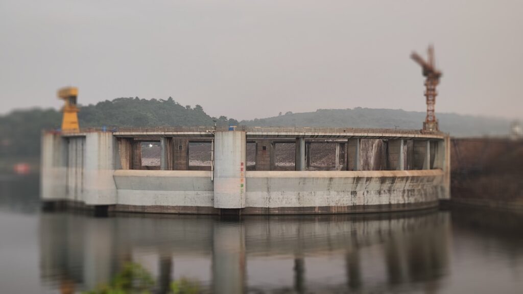
    Picture of a circular structure on top of the water, supposedly to control the water when it is flooding.

    I came back to my room afterwards, waiting for the others to be ready for breakfast at 8 AM. Breakfast was at the pool side, and the kids requested to swim. However, we deemed that the pool was not clean enough for swimming so we skipped.

    After breakfast, we walked down the hill for about 1 km to see axis deers, in a small preservation area. Along the way we picked up some leaves to feed them. However, the security guard forbid us to feed the deers with such leaves, as he deemed it to “hot”. In Chinese culture, aculturated to Indonesia, food are categorized as “cold” and “hot”. Hot foods are known to cause “inner heat” (panas dalam) that may cause illnesses like sore throat.
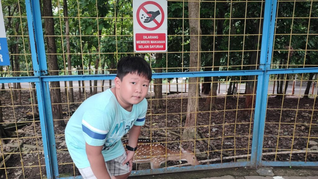
    Picture of a boy in front of deer cage

    We then walked back up the hill to the hotel. Surprisingly it was easier to climb up the road than to walk down. We then took a shower and checked out from the hotel.

    On our way home, just before entering the toll road, we had lunch at RM Ciganea. With about the same price to RM Teh Titin, we had better experience here. It was the first time our family tasted Sate Maranggi, beef satay that grilled with basic sweet and savory spices. Y, who didn’t really like beef, seemed to like it. We brought some more to give the kids’ grandma at home.

  • Glamping at Ciwidey

    Glamping at Ciwidey

    ? Klik untuk versi Bahasa Indonesia

    The faculty I work at has a yearly schedule of paid vacation together. The last time I took part at this kind of vacation was to Singapore in 2015. Normally employees are allowed to bring family members along, but may or may not need to pay, depending on the number of employees who decide to not take the benefit. I had been absent from two years of faculty vacation because the destination was too far, which made it unsuitable for my relatively young kid.

    This year, the committee chose Lakeside Glamping in Ciwidey, which was just two hours drive from Bandung. That destination made sense for me, Yun, Des and Pat to join. However, their first destination before glamping was Kawah Putih, a volcano crater just 30 minutes before the glamping area. With Pat only being 8 months old, I decided to not join the group for this first destination, because the smell of sulphur may be too much for her. Therefore, I drove my own car instead of joining the Unpar bus.

    Glamping: portmanteau of glamorous and camping and describes a style of camping with amenities and, in some cases, resort-style services not usually associated with “traditional” camping.

    Wikipedia
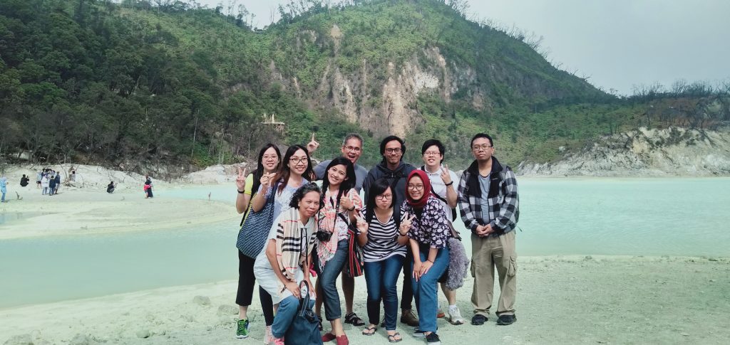
    Kawah Putih. Photo by Pak Eli.

    I started the journey from home at 12 noon. The traffic was relatively nice, with occasional congestions along the way. About half an hour before reaching the glamping site, we passed through winding roads as the road was located at the side of a hill. Slightly more difficult to drive, but the view was just wonderful!

    We arrived just a few minutes after 2 PM. The rest of the group was already checked in and enjoying their time at each tent. My family was allocated a family tent, along with my dean Pak Fer and his wife Bu Yan. We unpacked our luggage, took a brief of rest, then headed out to explore the glamping area. The area was hilly, costing extra energy to walk up and down, but the view was also beautiful. I had my late lunch of a portion of siomay, while Des had his snack of cup noodle. As you can guess, food was overpriced, with one cup noodle at IDR 15.000!

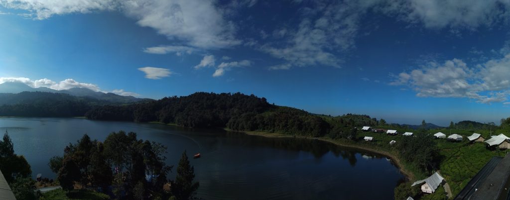
    Panoramic picture of the glamping site. Our tents on the right. Photo by Fla

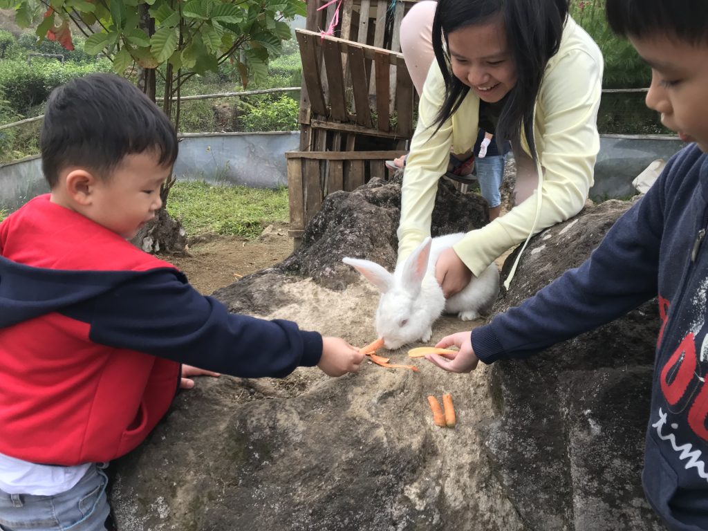
    Desmond was happy playing with the rabbits, and Yun was happy with selfie spots. I was happy with the fresh air. In the morning earlier, my friend Pak Wal told me a story about him walking to Dago Atas area and view the breathtaking waterfall, a “Wonderful Indonesia” type of view. Now in this site I found myself surrounded by this Wonderful Indonesia view.

    Feeding the rabbit
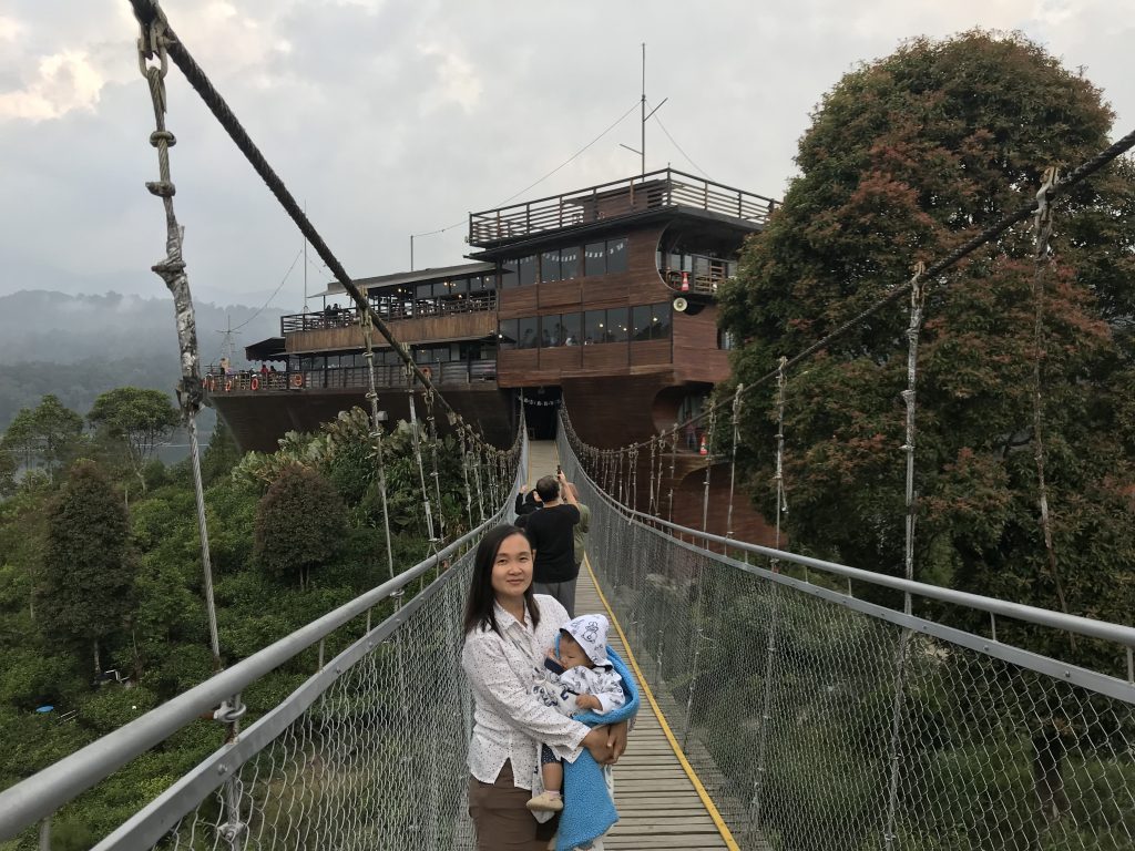
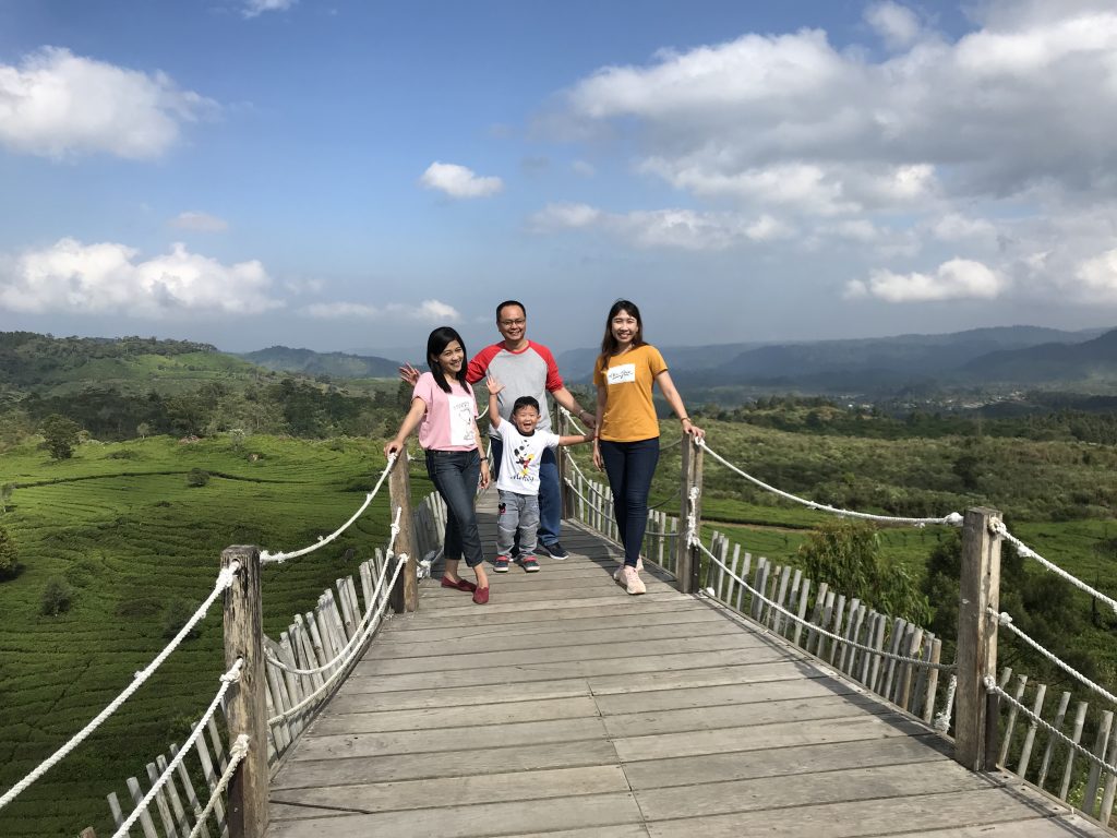
    “Pinisi” boat-shaped restaurant, connected with Pinisi bridge

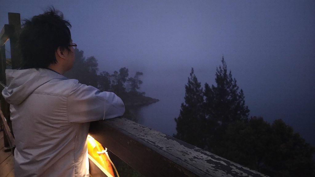
    Before dawn (or Indonesians love to call it maghrib), we headed back to our tents and took a shower. The air was cool and the water was cold, but it was still bearable for me. After shower, we had dinner together at the Pinisi restaurant. The food was too “standard” in my opinion, probably overshadowed by the other facilities provided. The restaurant had a very nice ambiance. The deck was a perfect place to enjoy the night, while watching the sky and the stars.

    Photo by Ray. Well, it’s Ray in the picture, so technically by someone else with Ray’s camera.

    Even before sleeping, I was confident enough to wear short and training shirt (those shirts with small holes to allow airflow) with standard blanket to sleep. Only at 11 PM, I woke up, realised that it was not enough at all. I felt very cold, and doubled up with jeans and jacket (which were cold as well because it was not yet used). Only after an hour I felt warm enough to sleep. I woke up at 5, had a morning chat with Yun, then took a walk around the site at 6. It was interesting to note that after sunrise, it was warmer outside the tent.

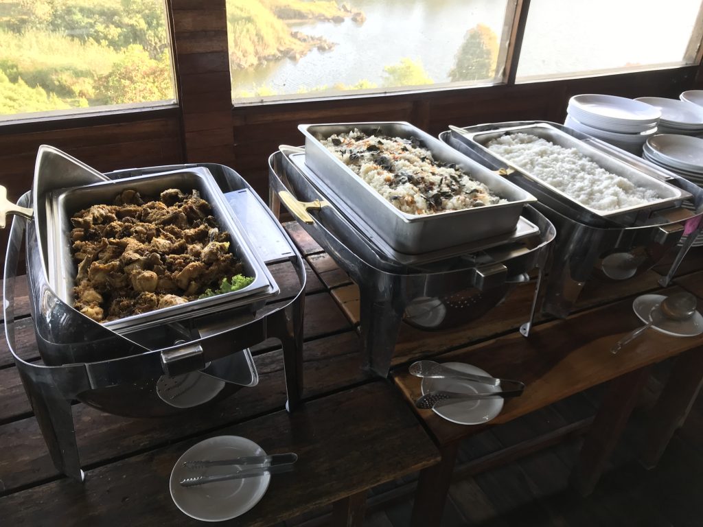
    We had breakfast at that same Pinisi restaurant. However, breakfast was much more luxurious compared to last night dinner. Porridge, green bean soup, coconut rice, fried noodle, toasts, are some examples. I and Des had breakfast earlier, while Yun and Pat was still sound asleep. The porridge and its condiments were separated, so I reserved a bowl of it for Pat. I then ask Pak Jan’s help to keep an eye on the bowl so the waiters would not clean them, while I walked back to my tent, waking Yun’s up and ask her to go for breakfast before the time is up.

    Delicious breakfast

    Des was impatient and ask me to go with him to the Golesat, a gravity powered car race. Yun just started breakfast, so we split up. At the Golesat start point, we met some of my colleagues. Pak Fer and his wife Bu Yan, Pak Rus and his wife Tante Nel were among them. Pak Fer, Bu Yan, me and Des rode the golesat down the hill. At the finish line, we were entitled a car ride back to the top, where we started. Pak Fer and Bu Yan decided to not take the car, because they wanted to walk to Teras Bintang, a spot to see the scenery, about 1 km walking distance from there. Des, who didn’t seem to understand the situation made a special bond with Bu Yan and urge her to come with him back to the starting point, potentially ruining their plan.

    En route, I called Yun to see if she was interested to visit Teras Bintang as well. She was interested, so we could all had a ride to Teras Bintang using my car. At the starting point, I let Desmond play with my colleagues, while I picked Yun up and walked to the parking area. I drove my car and pick the rest at the Golesat starting point. Pak Rus and Tante Nel joined too, making it a full house.

    Probably the youngest and the oldest lady in the group
    Des and his favourite auntie
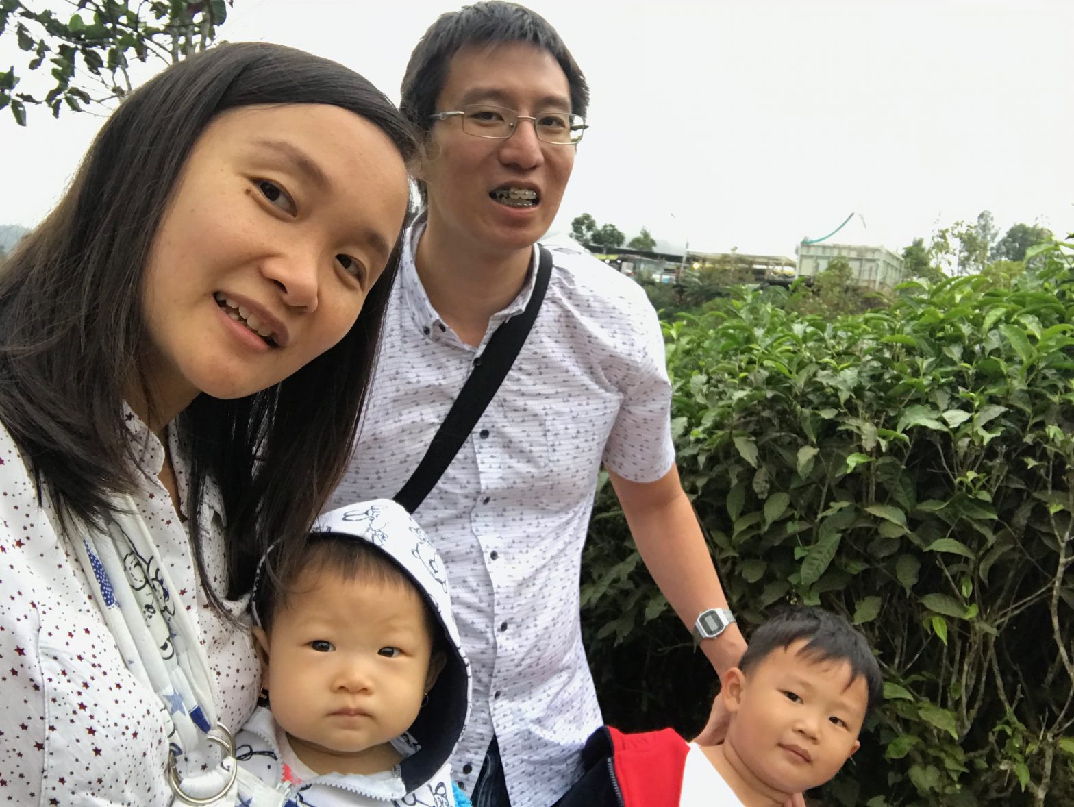
    Dean, vice deans and the boy

    Around 10.30, we packed our bags and prepared for checkout and lunch. Lunch was so-so, just like dinner. At 1 PM, we took a group photo and I said goodbye to the others, since I would again drive my own car. The traffic back to Bandung was significantly worse than the day before, since it was on Saturday. I already felt very sleepy that night, and that night my sleep time broke the record of 11 hours.

  • Healthier Way to Work

    After reading an article about health recently in local newspaper, I decided to add more exercise to my daily routine. It was challenging, given my busy schedule.

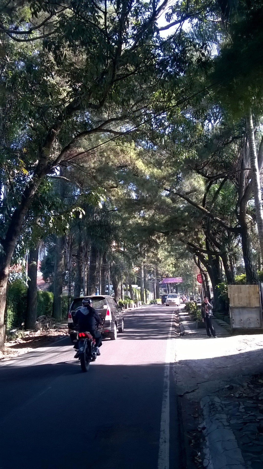
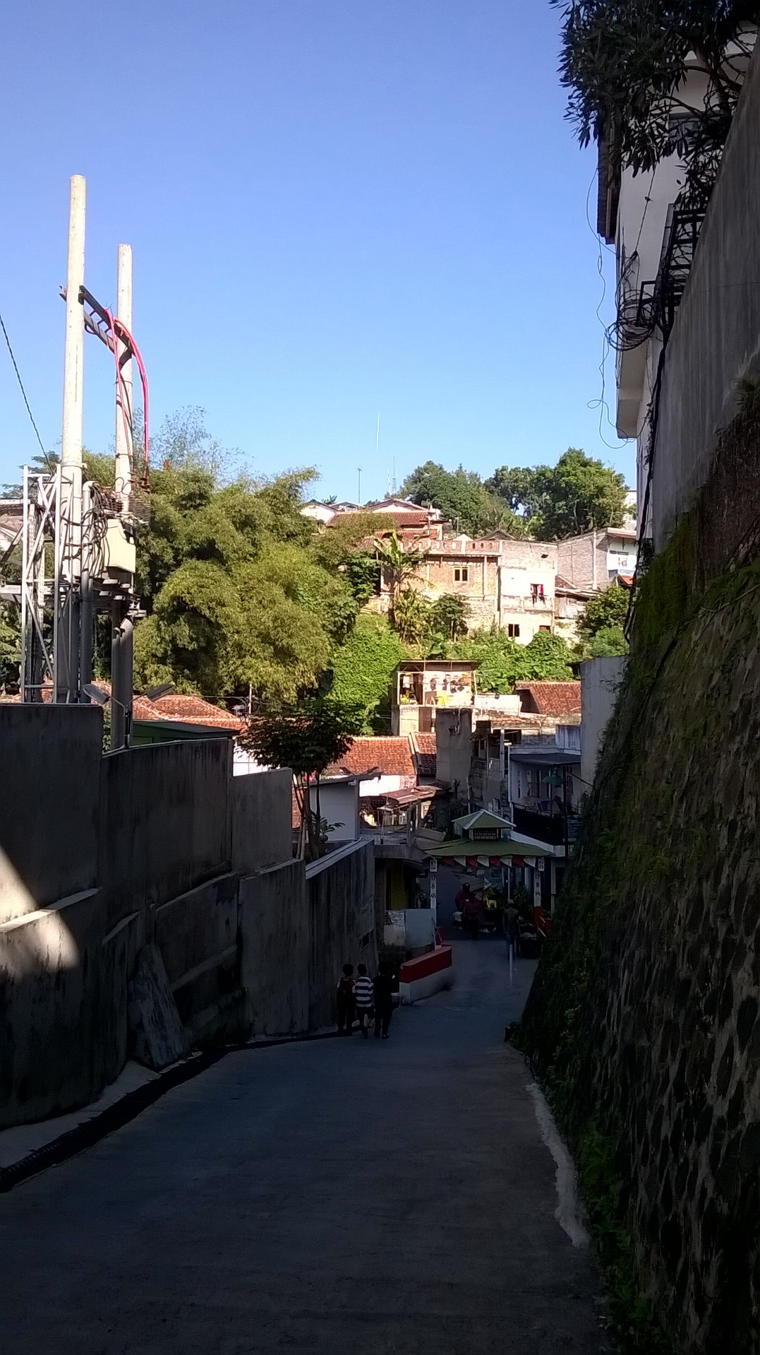
    One alternative I tried today was to stop earlier on my angkot trip to UNPAR, and spent the rest by walking. I stopped at one end of Jl. Setiabudhi, and walked along Hegarmanah street and some small alleys towards the office. I could have took Ciumbuleuit street for shorter route, but the air in Hegarmanah route was significantly fresher.

    More greeneries in Hegarmanah street.
    More greeneries in Hegarmanah street.

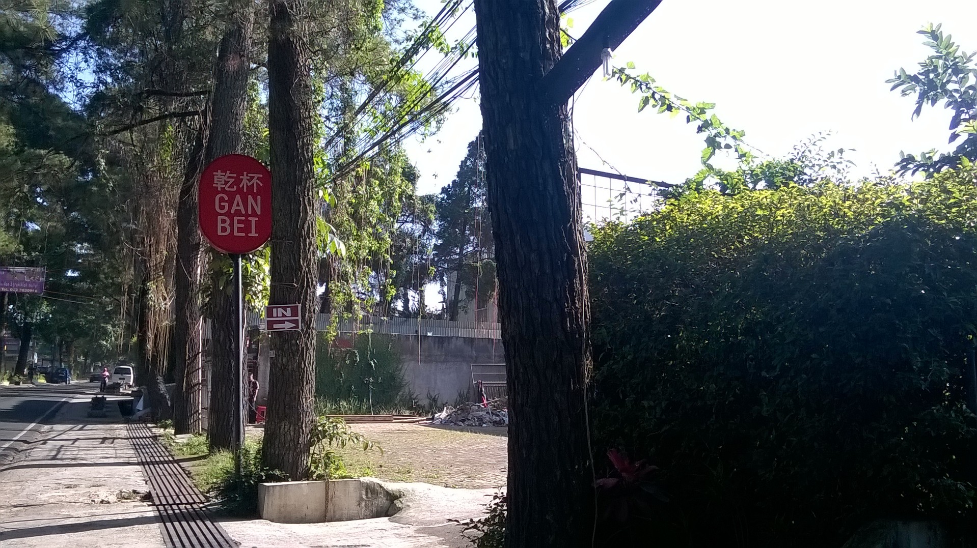
    The sign was deceiving, the building was under construction
    The sign was deceiving, the building was under construction

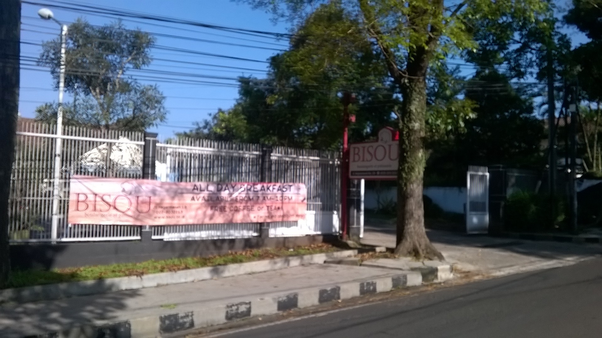
    A cafe that provides breakfast
    A cafe that provides breakfast

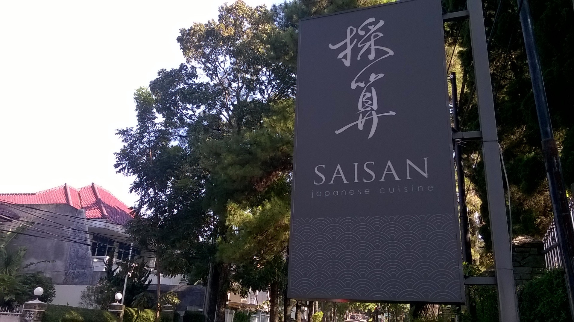
    Japanese Cuisine, yummy
    Japanese Cuisine, yummy

    A small alley with simple gate
    A small alley with simple gate

    Another view of the alley, reminded me of a scene from Fast 5 movie
    Another view of the alley, reminded me of a scene from Fast 5 movie

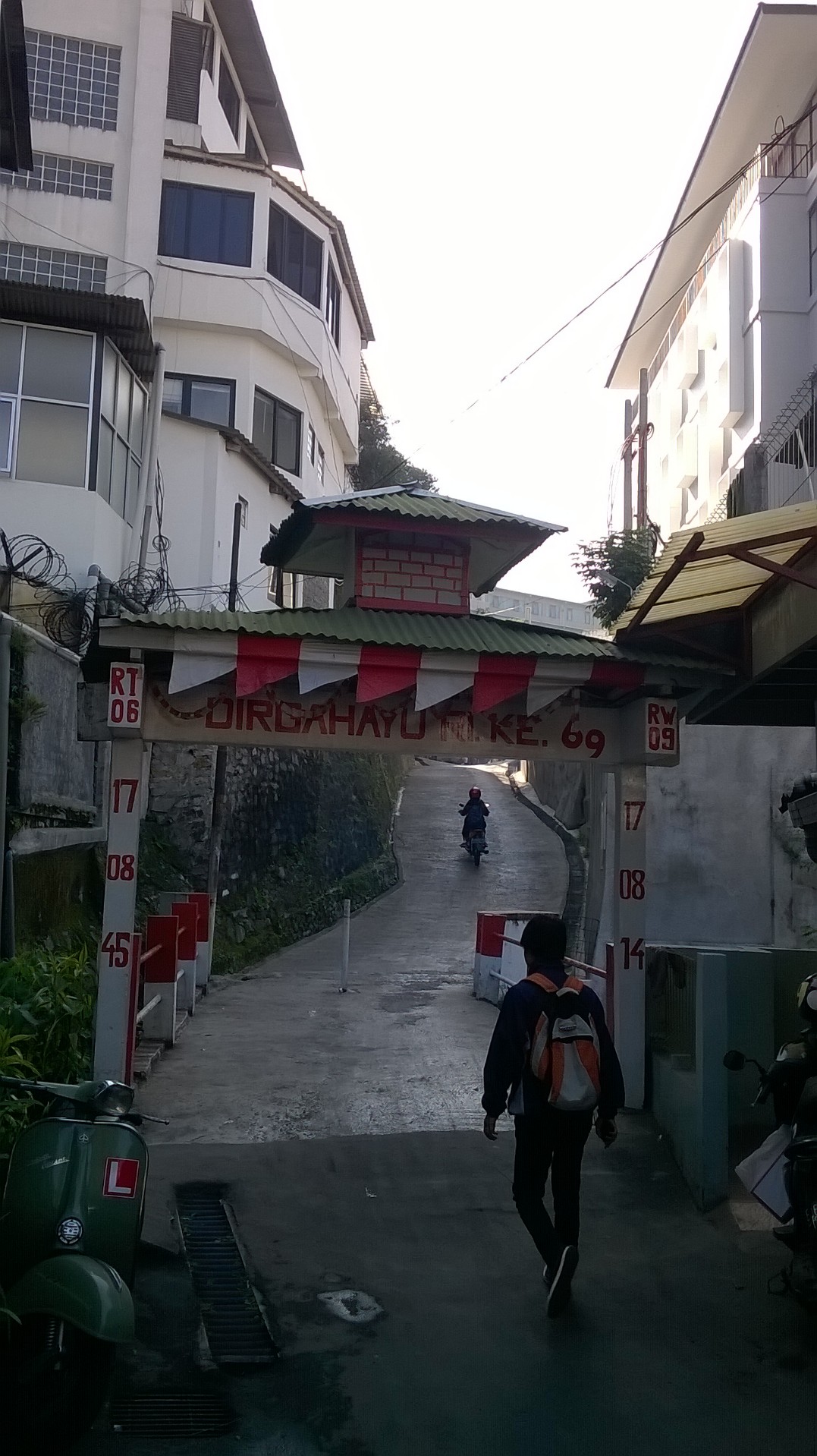
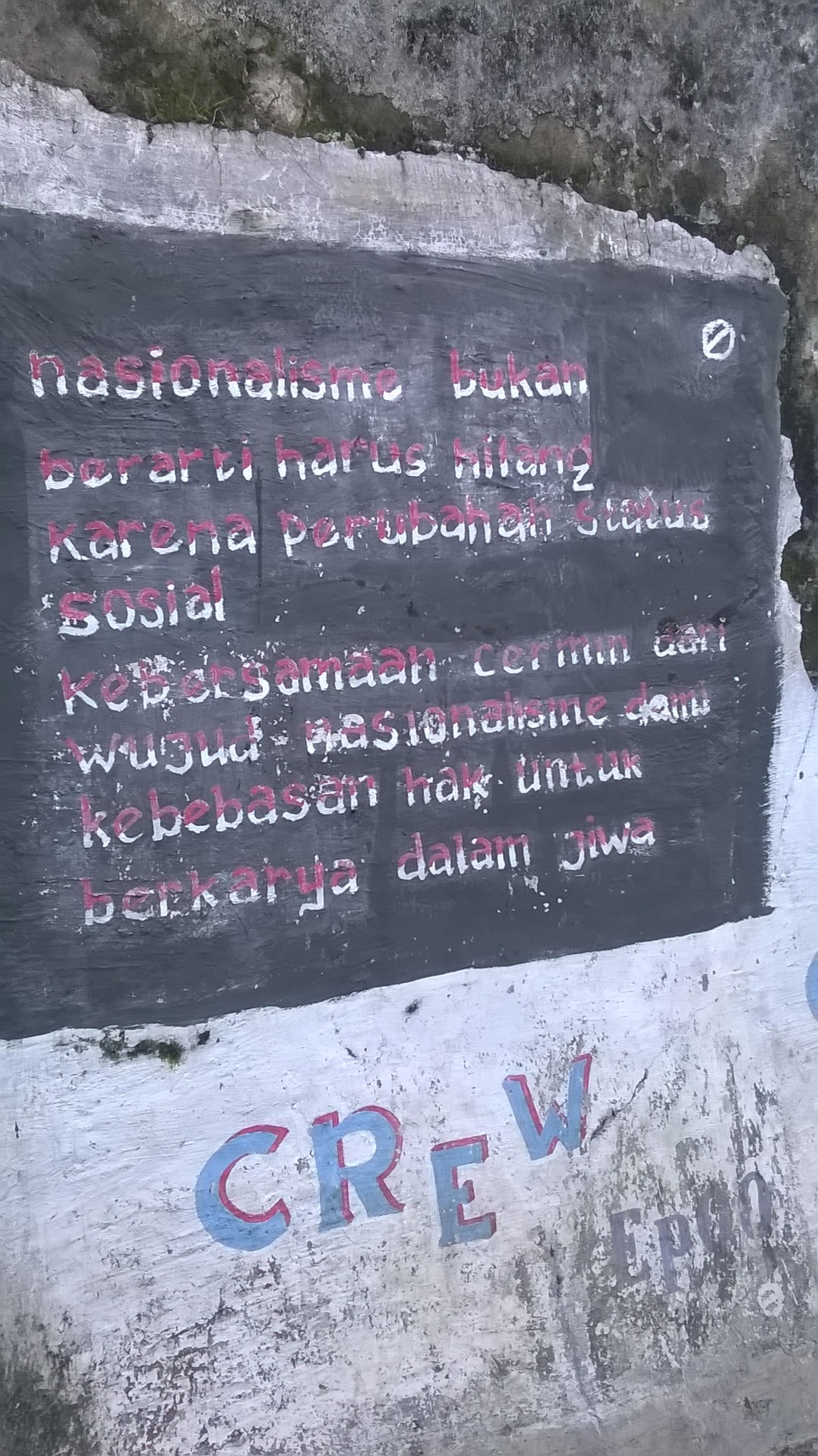
    Some reminder about nationalism
    Some reminder about nationalism

    You may also check the route here. Note that you must use public transport to do this. Otherwise, parking your car would be a problem.

    Have a nice, healthy day!

  • Weekend Refreshment: Singapore Botanic Garden

    The past week has been quite exhausting, so I switched back to mother nature for a weekend refreshment. This time, it’s the Singapore Botanical Garden. I’ve been here before (the post here and here), and many time I went through some part of the garden when I jog. Anyhow, it’s still interesting to visit, and this time I visited also the National Orchid Garden, for a student entrance fee of $1 (public is $5).

    I don’t have enough time to write now, so I just share some pictures here. Click on the pictures to see the larger version, or click here to see the track that I walked through.


  • St. John, Lazarus and Kusu Island

    Last weekend, I stumbled upon an article about Southern Islands in the Singapore Tourism Board’s website. Shortly after reading and googling several other sites, I said to myself “I have to go there!”. These islands are located south of Singapore, and  relatively untouched by civilization, even compared to Pulau Ubin.

    This Saturday, I have collected 8 persons including me, to go to some of the islands, namely St. John, Lazarus and Kusu island. Interestingly enough, Google Maps has very limited information about these islands. The islands do not have a shape information in roadmap view, and in satellite view the non-updated labels are only available in Malay language.

    On Saturdays, there are only three ferry round trips to this island, having the interval of 3 hours. That was why during our trip, we really had to come to the pier on time at 9 in the morning. Unfortunately, two of  us were late by few minutes, hence they couldn’t board the morning ferry. Waiting another 3 hours was not a very good option for them, therefore leaving only six of us continuing the journey. One of those six came in last minute in a rush, and we gave him claps cheers when he arrived.

    St. John

    After about 20 minutes journey, we arrived at the St. John island, a.k.a. Pulau Sakijang Bendera. Just as “advertised”, the island was quite quiet, with the exception of one worker fixing the concrete pathway. And if you have the same question as me, “whether I can get a GSM signal there?”, the answer is yes. Even better, you can also get Indonesian GSM signals too, probably from Batam. The next ferry will be at 12.45, so we had about 3 hours to spend in this island. So we walked, and after few meters, we arrived at the swimming lagoon, a relatively clean man made shore. We just played at the water and sat at the shelter nearby.

    We continued walking to the camp area, which has several “barracks” that can accommodate 60 persons each. This area is fenced, and there were several guard towers to watch the fences. At one gate, there is a sign “Out of Bound to non-campers”. But we didn’t care. Who cares? However after few steps walking inside, there were already a lady approaching us, saying that they are having private events in which they had booked the whole camp. Therefore we quit the area and walked to the other entrance that led to the camp office. I and David gave it a visit to check on the details of these.

    Card games at St. John Island

    Afterwards, we walked again towards the Marine Aquaculture Centre. Unfortunately, this place was closed for public and visitor must request a permit from another building not so close from there, so we skipped this. We walked again to the beach, but then we spent sometime on the benches playing cards. A regular card games, but this time we played far away from the concrete jungle, so you can see in the picture our very happy faces, far from city life stresses.

    Lazarus

    After few minutes playing, we walked again to Lazarus island, a.k.a. Pulau Sakijang Pelepah. It is accessible from Lazarus island through a man made land forming a bridge connecting those two bigger islands. As the sign read, public are “discouraged” to enter this area since it had yet to be developed, but again, why bother to care? It has another beautiful (well, compared to other Singapore’s beaches) but silent beaches. There too was a group of people taking photo shoots of a girl dressed in gown, probably for a magazine cover or something.

    Lazarus Island beach

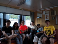
    It was almost 12.45, so we headed back to the jetty. We still had some time near the jetty, so some of us had our lunch there. Then we boarded the ferry. It was a different ferry from previous one, and this one was better. There were the regular passenger cabin, the open space upper deck, and a VIP room. It was too comfortable in the VIP room that we stayed there for the journey. Fortunately, nobody asked us to leave that room.

    Kusu

    The last stop was Kusu Island, a.k.a. Pulau Tembakul. In some other months, this turtle-themed island is visited by pilgrims. But it was not that month when we went there, so the island was very quiet. Upon reaching the jetty, we were greeted by a lady who counted the number of people entering the island, as well as reminding us the time of last ferry, 4.30 PM. We fist visited the shore and stayed there for some time, enjoying the nature with background music from Buena Vista Social Club.

    Kusu Island beach

    Then we headed to the small temple there. There were some statues, and interestingly enough a sign describing about 5 different versions of tale on how this island was made. Inside the temple, there were real turtles who were taken care by the temple maintainer.

    There was also a wishing well, in which you need to throw a coin inside it after making a wish. But there were 3 bells inside the well that you need to hit one of them. I managed to hit 2 out of 3 times with 20 cents coins. But the best was thrown by Hafidh who made the bell rang sharply.

    There was not much to do left in this tiny island. So we just sat at a bench and chatted for half an hour while waiting for the next boat to depart at 2.30 PM.

    Just as we left Kusu island, it started to rain. We were considered very lucky, that the weather was just perfect when we were there: not to hot, but also not raining. About 20 minutes later, we were back at the mainland.

    Conclusion

    These southern islands are best if you want to rest and unwind, away from the busy civilization (turn off your data connection for best result). However, if you look for attractions, you may not find many of them here. This place, especially St. John, may be at is best if you have a gathering with your friends, as there were also barbeque pits and a bungalow that can accommodate 10 persons. Just be prepared with occasional noise like the pathway fixing we met upon arriving, or several fighter jets that were having some exercises there.

    St. John, Lazarus and Kusu Island is accessible by taking a ferry (provided by Island Cruise) from Marina South Pier. Only several trips per day, costing $15 for round trip to all the three islands. Marina South Pier is located at N° 31 Marina Coastal Drive, Singapore 018988.

  • Pulau Ubin Cycle Trip

    Happy Deepavali for all my Indian friends! Often called as festival of light, Deepavali is celebrated every year in Singapore as a public holiday. It fell on Friday this year, and it supposed to be a very good time for me to go home to Indonesia. Unfortunately, I had a group meeting for school project the day after, so I could not afford to do it.

    Instead, we planned an outing to Pulau Ubin! Pulau Ubin is an island North East of Singapore where often said as the last “kampong” (village) in Singapore. Its nature is relatively untouched by urbanization compared to the main island. This island is best visited for cycling, and that was exactly what we did during this Deepavali holiday.

    I, Evan, Joseph, Nicolas and Richson met around 9.30 in the morning at a cafe near Simei MRT station. After having a quick breakfast we boarded a bus to Changi Point Ferry terminal, which located about 10km from the station.

    Upon arrival at the ferry terminal, there were already many people queuing to take the boat there. Fortunately the queue quickly reduced, thanks to the short interval between one boat departure and another. Pulau Ubin is only 15 minutes boat trip from the ferry terminal, and we arrived there at 11 AM sharp.

    We then rented several bicycles, one for each person for $12. A slightly better bicycle cost $15. There is also another bicycle rental that is specialized for off-road track that costs up to $20. After pumped the tires, we were ready to go!

    Our first destination was all the way north to the Noordin Campsite, which is also located next to a police training camp. There was not much to see here other except the small beach, one of the few beach which you can see the sea without tankers in Singapore.

    The next stop was to the east side of the island; the Chek Jawa. I will tell you more later about this it. Meanwhile, we tried to take a shortcut through the northern area of the island to go there. After cycling for few minutes, we were leaving the forest area and started to enter open space. At about half to noon, the heat from the sun was killing us. So I took out my sunblock and we started to cover our skin with it to prevent sunburn. We guys love skincare, too. Nicolas had even better idea to paperfold the newspaper I have bought earlier into a hat, to keep our head cool.

    We then continued our journey, but only for a few minutes before another cyclists came by us and told that the road leads to a dead end. I didn’t really buy it, but we decided not to risk it and turned back to take the longer road.

    Around quarter to noon, we arrived at the Ceck Jawa. I’m not sure if there is something to do with the Java island or the coffee, but this place is a small wetland in southeast of Pulau Ubin. To attract people, the government also built several facilities such as the boardwalk, viewing tower and a visitor center. Unfortunately bicycles are not allowed to enter. A sign told us to leave and lock our bicycles outside, but we couldn’t find any lock rental or anything. We finally just left it there and hoping nobody would take our humble bicycles.

    After few meters walking at the boardwalk, we arrived at the viewing tower. The tower is about 7 stories high and the view from above was very amazing! We could see the both sea and the forest from there. Not for the weak heart though, as the platform is shaky as people walk around.

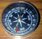
    We then walked again to the viewing platform that shows us the view of a strait, and the island behind it. We argued for a while to decide whether the island we saw was Malaysia or Singapore. Thanks to my good ol’ compass, we knew it’s Singapore. It’s a traditional compass, and yes, I know there is an app for that in iPhone.

    The last stop at Chek Jawa is the visitor house. From the distance it looked like a cottage, but when you go inside, you would see nothing but some displays about Chek Jawa. However, it was a very good place to take pictures, especially when not so many people around. There was also a viewing jetty but we didn’t go there as it was going to rain and lightnings started to scatter.

    We then decided to end our journey and get back to the ferry terminal. We had to cycle our way back to the terminal, and it had started to rain already. Fortunately we brought disposable raincoats to keep us dry. At about 3 PM we finally back at the main island. We had a quick Sundanese lunch at a nearby hawker center, then went back to our each own home. I was tired and sleepy, but very happy about for the outing we had!

    Find pictures of our trip to Pulau Ubin (including the beautiful panoramic view from the viewing tower) at http://picasaweb.google.com/pascalalfadian/PulauUbinCycleTrip

  • Sungei Buloh Wetland Reserve

    Who would expect that there is still a wetland in the modern city of Singapore? Well the truth is, there is one: Sungei Buloh Wetland Reserve (SBWR). Located at north west of Singapore, this place is well preserved by the government, despite scarcity of land in Singapore.

    We (me, Richson and Evan) agreed to meet at Kranji MRT Station around 8 in the morning, to take a bus to SBWR. On my journey to the MRT, the sky was very dark and once in a while light rain poured. I was afraid that rain would start falling heavily hence canceling our trip, especially because our trip to SBWR has postponed twice before. When we met at the MRT, there was only light rain, but there came another problem: it took very long time before bus 925 that could take us there came. And when it came, the bus was so full we couldn’t enter it.

    We then decided to take a cab there. The place was surprisingly quite remote, with few buildings around. Luckily when we got there the rain stopped, and the weather was just nice for a walk. The ticket is $1 / person, which entitles you to walk around the wetland as well as hourly short movie screening. As our time was limited, we skipped the screening and started walking.

    Compared to Bukit Timah or MacRitchie Reservoir, there were less trees and more water in SBWR. There were also some viewing platform where you can stand there to see Johor Bahru of Malaysia across the sea. Other interesting place is a lookout tower where we can see the jungle in the surrounding. It was very peaceful and a calming experience, especially after a week in the concrete jungle.

    Unfortunately, as Richson pointed out, there were not so many people coming to SBWR. They are more comfortable to go to shopping malls or watching movie. However, we were there not for the people. We were in fact looking for crocodiles, as promised by my friend Handy. During his visit there, he could spot crocodiles, some crossing the pathway we use to walk. However after few hours exploring the wetland, we couldn’t find one. Even at the area marked with “Watch out for crocodiles” sign. Anyway it was not so bad after all, since we found also many other interesting small animals (that I don’t know the names of them) around the area.

    After two hours walking, we came back to the entrance. Just when we about to leave the place, we found lizards swimming at a small pond near the entrance. Well, at least we found an animal that is similar to crocodiles.

    Going back to the city was another problem. It was around 11 AM, and I had appointment to play badminton at 12 PM. I thought it would be just in time if I take a cab. Unfortunately, there were no cabs wandering around the area, and when we called the cab hotline, we were replied with “The cabs around the area you are going to take taxi from are fully booked”. I am somehow sure they are not fully booked, the drivers must’ve been just too lazy to travel to this remote area. Finally we walked about 500m to the nearest bus stop and take a public bus from there to the Choa Chu Kang MRT station (if only it was Sunday, I did not need to walk that far, since the bus would stop at a nearer stop). Only from Choa Chu Kang MRT, I could get a cab to the badminton court.

    Take bus 925 or 925# (Sunday only) from Kranji MRT to go to SBWR. More pictures can be found at http://picasaweb.google.com/pascalalfadian/SungeiBulohJuly2010.

  • Singapore Botanic Gardens

    Due to its huge size, it may be difficult to find out how to go there. At least that what happened to me and delayed me from visiting this beautiful park. The official website provides me only the bus numbers without departing and alighting points, as well as recommended starting point to walk. However, I finally decided to go there anyway. Oh, by the way, it’s easiest to go there from the entrance near Gleneagles Hospital (take bus 105 towards the east from Commonwealth MRT, about 5 bus stops away).

    So I went there with my friend Handy around lunch time. We didn’t have lunch before, since we were planning to take it in “Taman Serasi Food Center”, whereas according to local map is just next to Botanic Gardens’ main gate. Unfortunately when we reached there, we couldn’t find one. All we saw around were private houses. So we had to walked a bit to nearby Tanglin Mall and had our lunch there.

    After lunch, we came back to the gate to start the journey. Looking at the map, it’s half impossible to explore all spots in the garden. Therefore, we just walked along the west side of the park, towards the north, passing three big lakes as our checkpoints.

    The first one is the Swan Lake, where… well, swans, live there. Seeing this lake and the swans made me remember the Tchaikovsky’s (did I spell it right?) “Swan Lake” symphony. It surprised me how the swans move very smoothly on the water. And apparently it surprised my friend, too. Initially we saw them from distance and he thought they were robots (you know, it’s Singapore…). But after examining them closely, I realized that they in fact don’t swim rushy like us human being. They just “row” with their feet once in a while and let their streamlined body flows swiftly.

    Next stop was the Ginger Garden. I don’t know what it has to do with ginger, but there was a beautiful-man-made-mini-waterfall. So, why not take some pictures? You can see myself behind a waterfall. Thanks to Handy he could take my picture when I was inside the cave (Now he’s a bit handy on this occasion). Nearby was the Orchid garden, but to enter I need to pay some fee. Not interested.

    We walked again and got into the second lake: Symphony Lake. Part of the lake is meant to be used as a performance stage, but most likely for calm, classic ones. Water is separating the stage and the audience area, so I can’t imagine this stage to be used by pop/rock bands (where the performers usually jumps to the crowd, it’s too far here).

    Next interesting spot is the Evolution garden. Well, not really that interesting. It’s a man made one, explaining how how living creatures evolved. Maybe for kids, yes.

    Walking again, I felt “back to Singapore” again. In the distance I saw cranes and tall buildings, and at the left of the pathway I took is the construction of the new Circle Line MRT Station. There was a sign attached, promising the benefits of new new station to be ready on 2010, blah blah blah.

    Then there were the Eco Lake inside Eco Garden, translated to Malay “Taman Eko”; in which if translated back from Bahasa (Indonesian) to English becomes “Eko’s Garden” whereas “Eko” is a common name for Indonesians. Not so much thing to see, only some turtles I can took picture of.

    We were tired already, so we had to find a way out. From inside we could see the Bukit Timah Road. But alas, it was closed with fences and a small sign told us we do can’t get to the road through here. So we had to turn around and quit through Jacob Ballas Children’s Garden, in which we were not very interested to see because, uh, it’s for children. The exit gate led us to NUS Bukit Timah campus, and consequently Bukit Timah Road. From here you can take bus N° 186 to go to the nearest MRT, Queenstown. And that conclude our journey.

    But a bit of tip: don’t go to northern side, it’s not really worth it.

    Singapore Botanic Gardens has two entrances, but the easiest is to locate the Gleneagles Hospital at N° 4 Napier Road, Singapore 258498.

    More pictures at http://picasaweb.google.com/pascalalfadian/BotanicGarden

  • One North Park

    There are two ways to go back home from my office. One is to take bus N°198. It usually takes about 30 minutes to go home, including the time required to cross the street, waiting the bus, and walk a bit. The other is to walk all the way. It by average takes 30 minutes as well if I take shortcuts (that includes crossing the KTM railway). Normally would walk home only if I can go back early.

    But this day was different. I needed to finish something at the office until 7.30 PM, and I’ve skipped several exercise sessions for past few days. So I decided to walk home to replace my sessions. I grab a dinner first at Fusionopolis, then stayed a bit there to let my tummy calm down first. Afterward, I started walking home with about the same route – in the dark.

    Was walking in the dark, I was a bit “lost” in a sense that I didn’t take the shortest route I usually take. But it led me to a new park I’ve never seen before (at night – in fact I’ve seen it during the day, but I didn’t know it’s a national park). I arrived at One North Park. Not sure which part is the Biopolis, and which is One North Park, but somewhere there is an amusement object where you can clap your hands between two big dishes and hear your clap echoing. Other than that, there’s not much you can see there. Especially at night, where the pathway is not lit by garden lamps.

    For girls, it is not recommended to walk alone. Boys, just be careful of homosexuals.

    The park itself is not very big, so I passed it after only 5 minutes. Then it comes to the KTM shortcut. But this time I wouldn’t dare to cross it. It’s even darker than One North Park, and there is no pathway, only railway and grass. You wouldn’t know what you will step into. Moreover, there’s a small abandoned house nearby, a perfect supplement for Singapore Ghost Story (I should upload the photo someday..)

    One North Park is located next to Biopolis area, near Buona Vista MRT.

  • In Search for Pascal (Kent Ridge Park)

    Prologue
    This Christmas, should be a healthy holiday. I didn’t have any plans nor appointment in the morning, so I tried to use the NUS facilities that I just got by holding a student card. Therefore I prepared from home bringing one additional shirt and swimming equipments.
    When I reached there, I entered gym and start excercising for half an hour. Then after, I tried to use the swimming pool. It’s good. After finished, I thought, why not continue trekking for a complete “triathlon”? I was thinking of HSBC Treetop in MacRitchie Reservoir. But before, I need to get some info in the library.
    In the midway, I found a “Kent Ridge Park map” sign. I took a look, and found an interesting thing in a map: There’s a spot inside the park named “The Pascal”, hmm.. interesting.. Then, off we go to Kent Ridge Park!

    Kent Ridge Park Trail
    There are two ways to go to Kent Ridge Park. One is through the walking path by the Science Park Dr. The other one is running path, by the South Buona Vista Rd. I took the running path, even though I didn’t run. Differences? In Science Park you see buildings, whereas through South Buona Vista you can see trees on your surroundings*.
    After 15 mins walk, I reached the Kent Ridge Park entrance, with a, um, I don’t know. Is it a missile launcher, or a tank? Nevermind. So I start walking, following a path that leads me to “The Pascal”
    After few minutes walking, I found a small lake. In the map there are two lakes inside this park, and the lake I found should be the small one, although it is still quite big for me. So I stopped and took some pictures of the peaceful lake. I was tempted to take my own picture, but there was nobody there. So I tricked it by setting my camera on timer and put it on a dust bin. A bit hard and dirty though, but result is okay (see pic above).
    Then I continued my journey. Unfortunately there were not pretty much signs or maps ahead, so I just followed the directions recorded in my mind. Eventually I’ve got out of the park and reached the Science Park. Hmm, where is that “Pascal” condo. Nope, it was just me. I just thought with the good name as “Pascal”, it should be a condo or good housing.
    But I can’t see nothing but office buildings. I looked around for few minutes there was no sign of Pascal. Then I thought of going home instead. I waited at a nearby bus stop, near the Mendel block. There was a guy there sitting. I thought he was waiting for the bus as well, but even before I asked him, he already said “The bus stop to MRT is across the street; I’m just sitting here”. Then I walked across the street to the bus stop. In the bus stop I read the route, and there was another bus stop named “Aft Pasteur”. Hmm.., suspicious.. I recall again there is “The Pasteur” building near The Pascal. Then I changed my mind. It was so close! So I searched again. But it was not easier thouugh, I even has to come back to the same guy sitting at the bus stop and ask where is the place.
    But after few efforts, I finally found “The Pascal” building. It was not a beautiful building though, nor a condo. But it was good enough as an achievement. It was an office building. Turned out the buildings here are named from famous scientists name. Pascal was in one block with Pasteur, Mendell, and Maxwell. I wanted to take picture in front of the building, but there were some people working there and I felt bad to disturb them. But anyway, I’ve met my goal. Yay!

    Pictures from Kent Ridge Park in: http://picasaweb.google.com/pascalalfadian/KentRidgeParkDec2008

    * Bonus of Indonesian traditional song lyric:
    Up! Up! To The Peak of The Mountain
    Up, up, to the peak of the mountain,
    High, it’s very high!
    Left or right I only see..
    a lot of pine trees (rep 2x)